
Specialist Drone Mapping and Monitoring Services
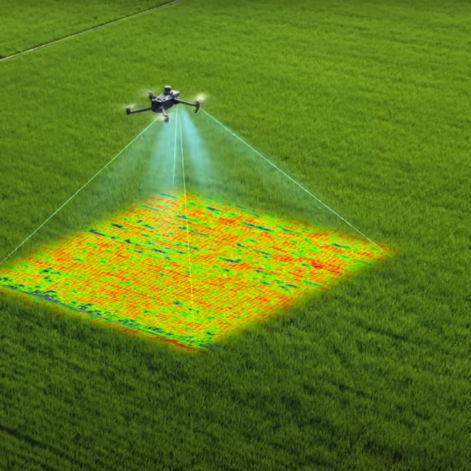
Cambridge Drone Services captures high-resolution RGB and multispectral data for farms, crop trials and land-based projects across Cambridgeshire, East Anglia and the wider UK.
We provide clear field maps, repeat monitoring, management zones and practical data exports for use by farmers, agronomists, researchers and contractors.
Our role is to collect, process and present accurate aerial data—helping you identify where variation is occurring and target further investigation, planning or action.


In partnership with Russell Smith Farms
RGB and multispectral mapping | Repeat monitoring | Management-zone creation | Machine-ready data exports | CAA-compliant operations
What Cambridge Drone Services Provides
Cambridge Drone Services specialises in aerial data collection, mapping and repeat monitoring for farms, crop trials and land-based projects.
Using RGB and multispectral drone imagery, we produce clear maps and practical data outputs that help customers:
- Record field and site conditions
- Identify areas of visible variation
- Compare changes between flight dates
- Target crop walking, sampling or investigation
- Create management zones
- Prepare files for compatible machinery or contractors
We provide the data and mapping evidence. Agronomic, treatment and input decisions remain with the farmer, agronomist or relevant professional adviser.
Key Services Offered
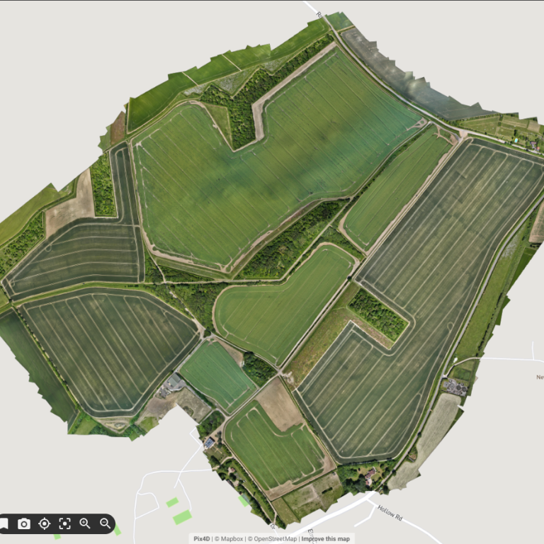
Drone Mapping (RGB + Multispectral)
High-resolution RGB and multispectral mapping for farms, estates and land-based projects.
Use detailed aerial maps to record field conditions, identify visible variation and create a reliable baseline for further investigation.
Typical outputs:
- RGB orthomosaic maps
- Multispectral vegetation maps
- Annotated areas of interest
- Surface models and contours
- Secure digital delivery
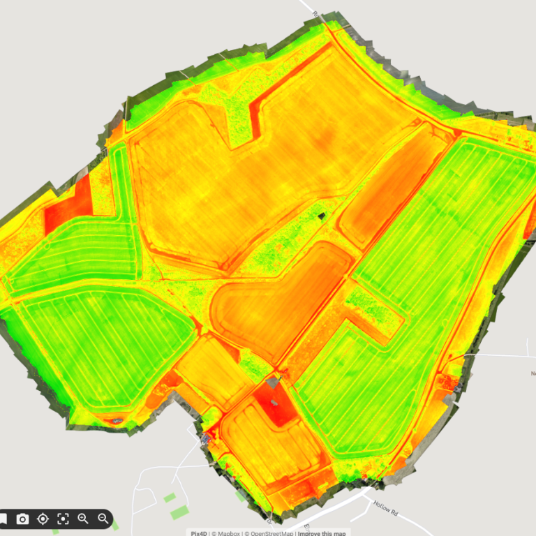
Seasonal Crop Monitoring
Repeat drone flights carried out at agreed stages during the growing season.
Compare crop establishment, canopy development and field variation over time using consistent, high-resolution data.
Typical outputs:
- Two or more scheduled flights
- Comparable maps from each visit
- Change monitoring
- Annotated variation zones
- End-of-season data summary
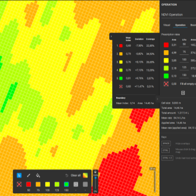
Management Zones and Data Exports
Turn mapped variation into practical zones for field checking, sampling, planning or targeted operations.
Files can be prepared for use by the farm, agronomist, contractor or compatible machinery system.
Typical outputs:
- Management-zone maps
- Area calculations
- Sampling or inspection zones
- SHP or ISO-XML exports
- Spot-treatment planning files
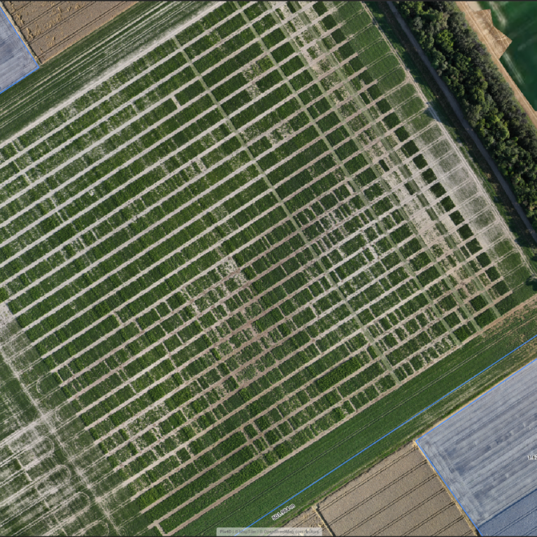
Trials and Research Monitoring
Repeatable drone data collection for crop trials, research plots and product-development projects.
Flights can follow an agreed capture protocol to provide consistent imagery across multiple dates.
Typical outputs:
- High-resolution RGB imagery
- Multispectral datasets
- Repeat flight protocols
- Plot-level mapping
- Raw or processed data delivery
How the Process Works
1
Tell Us About the Project
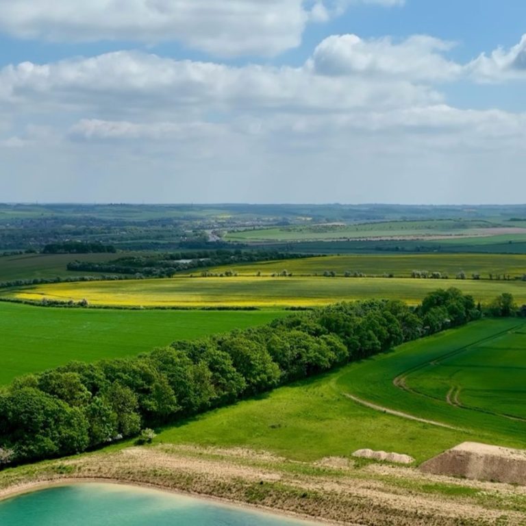
Send us the field or site location, approximate area and what you want to map, monitor or investigate.
A field boundary, map screenshot or What3Words location is helpful but not essential at the enquiry stage.
2
We Review the Requirements
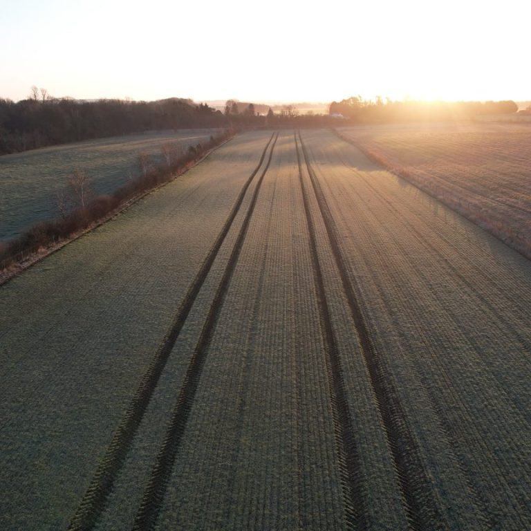
We assess the site, airspace, access, required resolution and the type of outputs you need.
We will contact you if anything needs clarifying before providing a clear written quotation.
3
We Plan and Complete the Flight
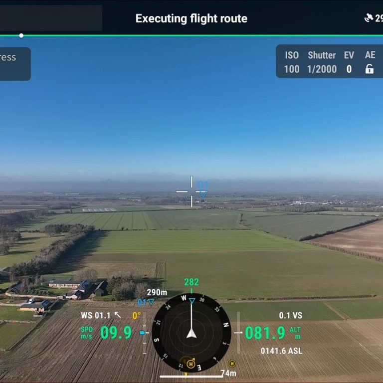
Once the quotation is approved, we agree a suitable flight window.
Flights are planned around weather, crop or site conditions, permissions, access and operational safety requirements.
4
Your Maps and Data Are Delivered
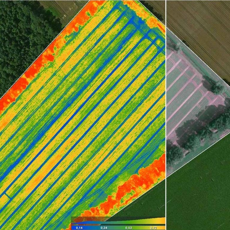
The imagery is processed into the agreed maps, reports, management zones or data files.
Outputs are delivered digitally and can be shared with your agronomist, contractor, research team or other relevant adviser.